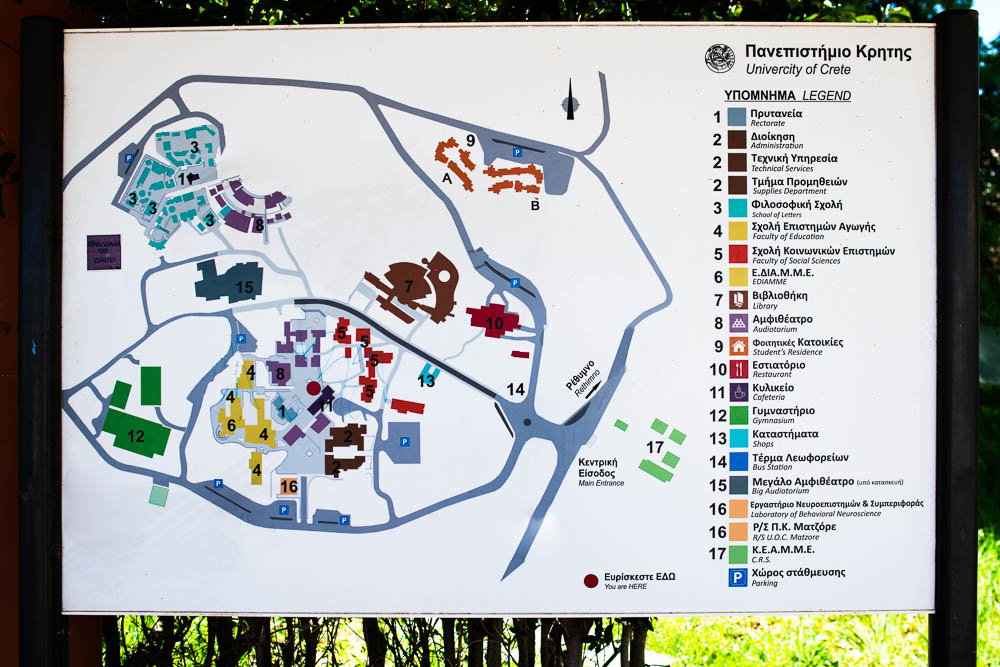
About the maps
The maps are bilingual and have delevoped in order to open as standalone maps, or embeded in other websites. Embed usage info can be found bwlow in this page.
Software and Services
For the map implementation several teechnologies have been used, mostly Open Source ones. The UOC web map is a leaflet implementation with a Google Maps hybrid basemap. Even though the precision of the basemap has improved the recent yearss it still there are several meters inaccuracies where the location of buildings and streets will look like they have been moved slightly. These inaccuracies depend on the basemap and its produvtion year and are for the needs of this map acceptable.
Spatial Database
The spatial data of these maps are stored in a Postgres database with an Postgis extension enabled. The administration and edits of the database and its data are done with the Open Source software PG Admin and QGIS.
Data Description – Legend
Points of Interest.
Schools and Departments
University Museums

Infastructurre
Administration
Library
Sport Centers
Children Care
Restaurants - Cafes
Accesibility related points of interest

Elevators

Entrances

Ramps

Handicap toilets
Google Maps guidelines
Important
Google Maps are calculating the route to a specific destination in an automatic way that may introduce errors. For the way to a suitable parking area in the campus, or the right entrance for your destination, always consult other sources as well, like the campus signs.
For additional Google Maps info please see this following link.

Accesibility Map
Description
It is a map that emphisizes on the accesibility of the campuses via a handicap wheelchair.
It is based on a combined photographic record of the spaces with interconnected photographic panoramas that can be inspected in the following virtual tour as well https://gallery.uoc.gr/tours/uni/.
The focal point of this implementation are the suggested paths to roam the campus, or to go inside a building and access its facilities and spaces. All these paths are categorizied as
- paths, where the help of an accompanying person is neeeded,
- and paths where the person on the wheelchair can move autonomously.
The main difference between these two types are the Main Building Entrances where in the second case there are entrances that open automatically.
